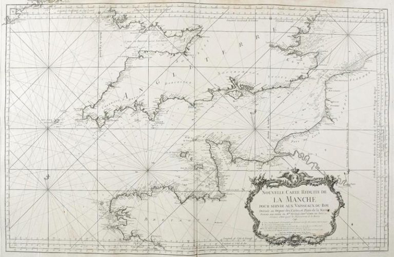
New smaller map of the Channel to assist the King’s ships
The Channel is one of the busiest seas in the world from the point of view of ship numbers, and covers an area of 75,000 km2. It links the Atlantic Ocean to the North Sea and acts as a border between France and England. The current word used to describe it in French, La Manche, is quite recent, as for many centuries it was called “the Sea of Brittany”.
- Date details
1749
- Size
59,2 x 91,5 cm
- Institution
Archives départementales de Seine – Maritime
- Original reference
51 fi 91
- Period
Early modern Period
- Thematic
Maritime and Trade Links
Location
Rouen – Archives Départementales

